
General Geography Home Page
Printable Worksheets: United States and Capital (Capitol) Cities and related Maps
Geographical and alphabetical reference lists of states and capitals plus four assignments and worksheets to re-inforce learning.Printable Worksheets:
Map of Canada – Provinces and Territories
– Capital Cities
Joanne Mikola
Print Ready Worksheets:
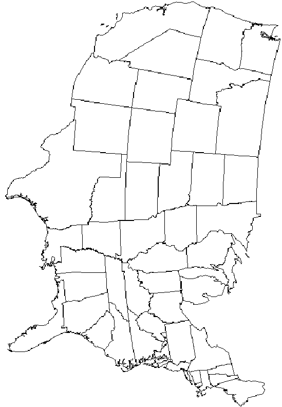
Blank Outline Map of Continental United States
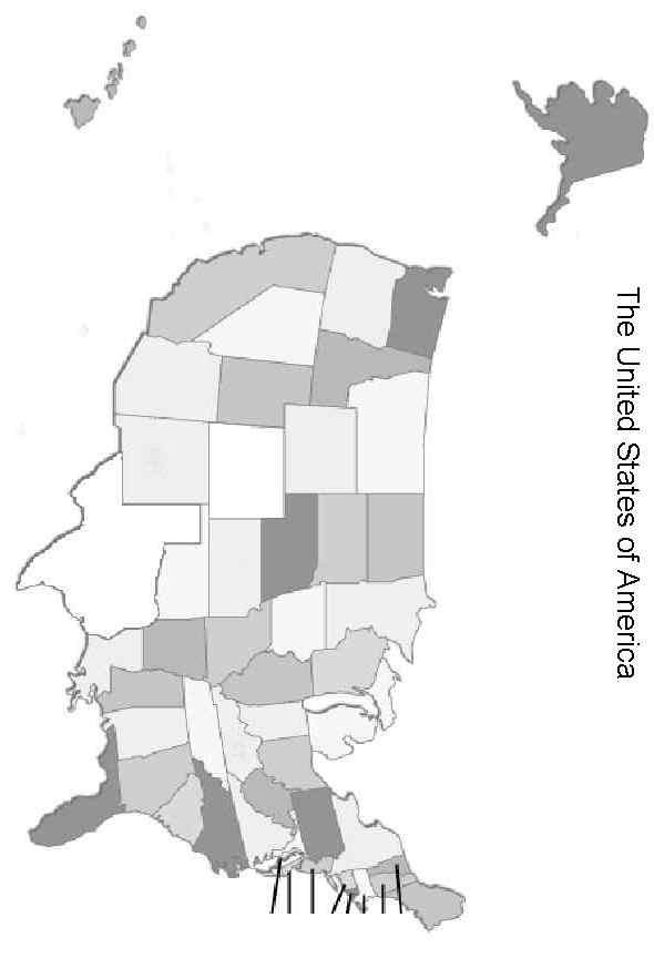
Blank Map of the United States including Alaska and Hawaii
Print and label.
Joanne Mikola
Interactive puzzle map: The Mississippi River.
Great re-inforcement tool for learning what States the river borders and runs through. Can you name all 10 States? Includes midi file ‘Ol Man River’ sequenced by Roly Wright and used with permission. J Mikola
Printable assignment worksheet: The Mississippi River J Mikola
Interactive Puzzle United States Capital Cities
Includes National Anthem ‘Star Spangled Banner’ midi file
Joanne Mikola
Interactive Puzzle map of Canada
Includes National anthem ‘Oh, Canada’ midi file.
Joanne Mikola
Interactive Puzzle Map Headline Countries
Selected Countries of Europe, the Middle East and Asia. Do you know where Afghanistan is? Joanne Mikola
Interactive Puzzle Map Europe circa 2000 AD
This one is not for the faint of heart! Flags courtesy of www.theodora.com/flags and used with permission. Thanks also to our viewer, Bob Ross for this request.